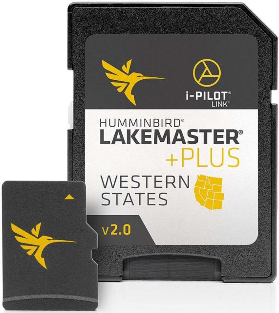
Upgrade your fishing experience with the Humminbird LakeMaster Plus Chart. This chart includes all the great features of LakeMaster, but with the added feature of high definition aerial photography of lakes. This means you can easily see docks, buildings, and structures on the water. You also have options for how you view the aerial imagery, including aerial only, aerial with LakeMaster map, or full aerial with contours overlay. With the LakeMaster Plus Chart, you'll have the advantage of enhanced visibility and detailed maps for a successful fishing trip.
Frequently Asked Questions
1. How does the aerial photography feature work?
The Humminbird LakeMaster Plus Chart comes with high definition aerial photography of lakes. This allows you to see detailed images of docks, buildings, and structures on the water. You can choose to view the aerial imagery on its own, or overlay it with the LakeMaster map or contours for a comprehensive view.
2. What advantage does the LakeMaster Plus Chart offer?
The LakeMaster Plus Chart enhances your fishing experience by providing enhanced visibility and detailed maps. This can help you locate specific areas of interest, such as underwater structures, drop-offs, or points of interest like marinas or boat ramps. With this information, you'll have a better chance of finding and catching fish.
3. Can I customize my viewing options?
Yes, the LakeMaster Plus Chart offers customizable viewing options. You can choose to view the aerial imagery on its own, overlay it with the LakeMaster map, or overlay it with the contours. This allows you to tailor your view based on your preferences and specific fishing needs.
4. Is this chart compatible with my Humminbird device?
The Humminbird LakeMaster Plus Chart is compatible with a wide range of Humminbird devices. However, it is always recommended to check the compatibility list or consult the product documentation to ensure compatibility with your specific model.
5. How frequently are the maps updated?
The maps on the LakeMaster Plus Chart are regularly updated to provide the most accurate and current information. It is recommended to periodically check for map updates to ensure you have the latest data for your fishing trips.






Mikayla –
Irasema –
Yazmin –
Christiane –
Shiquita –