

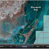
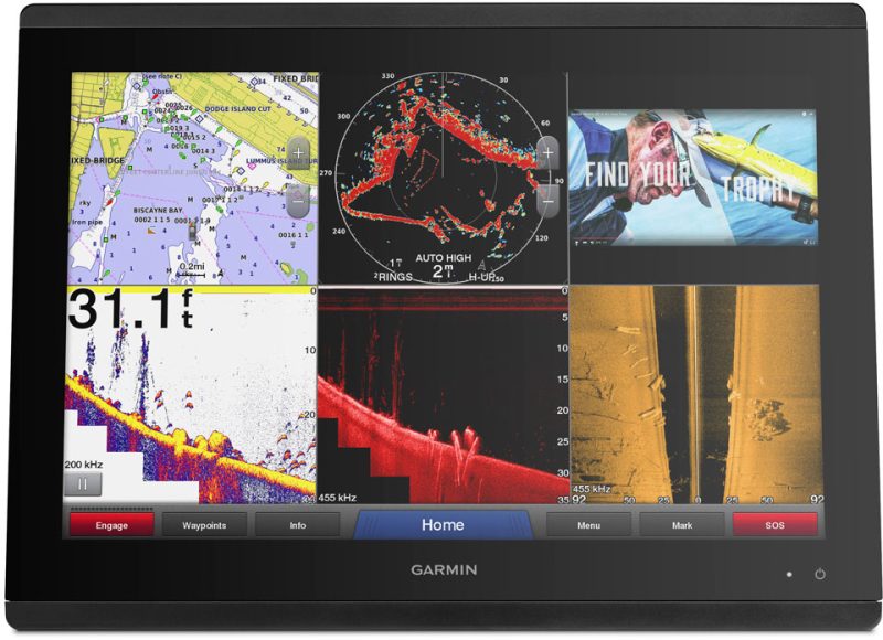
The Garmin Standard Mapping – Florida One – Professional – microSD – SD Card is a product that offers a comprehensive mapping solution for the state of Florida. It provides high-resolution imagery of the coastline, as well as localized names of waterways and land features.
In addition to this, the card also includes outlined Wildlife Management Areas and Offshore Lease Areas, which can be useful for outdoor enthusiasts and fishermen. The added value from Standard Mapping's pro staff ensures that the information provided is accurate and up to date.
One notable feature of this card is its ability to outline Oyster Leases in white, making them easily identifiable. This can be particularly useful for individuals involved in the oyster industry.
Another valuable feature is the card's ability to identify Artificial Reefs with a white dot. This makes it easy for boaters and divers to locate these reefs and explore them.
The card also provides clear demarcation of State and Federal Offshore Boundaries, allowing users to easily determine when they are crossing between state and federal waters.
In summary, the Garmin Standard Mapping – Florida One – Professional – microSD – SD Card offers a comprehensive mapping solution with high-resolution imagery, localized names, outlined areas, and easy identification of oyster leases, artificial reefs, and offshore boundaries.
Frequently Asked Questions
Q: Can I use this card on multiple devices?
A: Yes, the Garmin Standard Mapping – Florida One – Professional – microSD – SD Card can be used on multiple compatible devices.
Q: How frequently are the maps and information updated?
A: The maps and information on the card are regularly updated by Standard Mapping's professional staff to ensure accuracy and up-to-date data.
Q: Are the Wildlife Management Areas and Offshore Lease Areas outlined on the card?
A: Yes, the card includes outlined boundaries for Wildlife Management Areas and Offshore Lease Areas to make them easily recognizable.
Q: Can I easily identify oyster leases with this card?
A: Absolutely, the card outlines Oyster Leases in white, making them easy to identify for individuals involved in the oyster industry.
Q: Are Artificial Reefs marked on the card?
A: Yes, Artificial Reefs are marked with a white dot on the card, allowing boaters and divers to easily locate and explore them.
Q: Does the card clearly show State and Federal Offshore Boundaries?
A: Yes, the card provides clear demarcation of State and Federal Offshore Boundaries, helping users determine when they are crossing between state and federal waters.

Deirdre –
Madonna –
Briann –
Julissa –
Valentine –
Tinamarie –