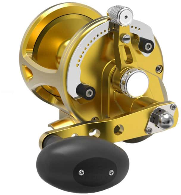
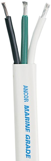
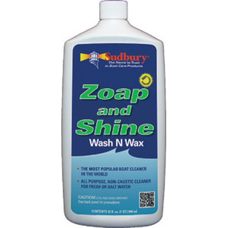
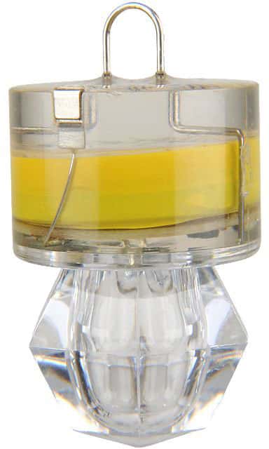
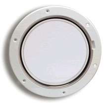
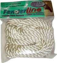
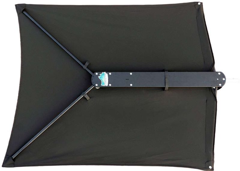
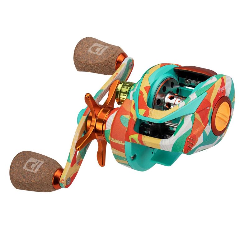
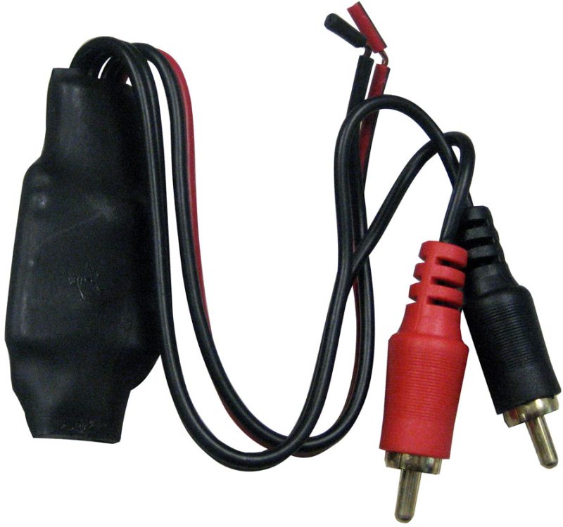
Humminbird LakeMaster Plus Chart – Great Plains – v1 – 600017-4

(2 customer reviews)

$149.99

The Humminbird 600017-4 LakeMaster PLUS Great Plains - MicroSD/SD is part of Humminbird's LakeMaster PLUS series of electronic charts, a new family of map cards that... review features
Salt Action PickPopularity Score: 195
Check Prices at Amazon Check Seller Listings Back To Collection
Reader Supported

The products displayed in our site catalogs are made available and fulfilled through our affiliate partners. We may earn compensation from our affiliate partners if you make select purchases through links for products on our website. SaltAction.com is a participant in the Amazon Services LLC Associates Program, an affiliate advertising program designed to provide a means for sites to earn advertising fees by advertising and linking to Amazon.com. Read more information about our disclosures and policies here.

Humminbird LakeMaster Plus Chart – Great Plains – v1 – 600017-4 - Review

The 600017-4 LakeMaster PLUS Great Plains – MicroSD/SD is part of 's LakeMaster PLUS series of electronic charts, a new family of map cards that parallel the standard LakeMaster editions. Coverage area and lake lists remain the same and both are compatible with most Humminbird GPS models including the ONIX and ION units. Humminbird LakeMaster PLUS Electronic Charts have all of the features you've come to love from LakeMaster, but now allow for aerial image overlay on high definition waters. Now you have the ability to use quality aerial photography to view the entry and exits of creek channels, see how far a reef or weed line extends, pick out shallow water rock piles, steep drop-offs and other features of the lake you've been missing from traditional maps. LakeMaster PLUS gives you the freedom to choose how you want to use the aerial imagery. Satellite Only: This layer shows only aerial imagery and no other map information. Satellite – Land: This layer shows the LakeMaster map and the aerial imagery that extends around the body of water. Satellite + Contours: This layer shows the aerial imagery and just the LakeMaster contours so you can still pick out those features in the water while still seeing your depth. Each map card Edition covers some of the most popular water bodies in the region and the PLUS series also gives you access to all of the LakeMaster features including the following:i-Pilot Link compatibleEasy to read contoursDepth Highlight RangeWater Level OffsetShallow Water HighlightScrollable Lake ListThe micro card comes with an SD adaptor included to fit a wide range of Humminbird models.

View Buying Options
  1. Asha

  2. Melissa

Share your rating, review, or both.

Share your rating, review, or both.

Required fields are marked *

SKU: 4856300194157968 Category: Collection: