

The innovative C-MAP 4D NA-D932 chart is an integral component of marine navigation, providing unparalleled charting capabilities for both novice and seasoned mariners exploring the waters of Lake Huron and Georgian Bay. Whether you are setting out on a leisure cruise or undertaking a serious maritime expedition, these high-quality digital charts are equipped with dynamic features tailored to enhance every aspect of your voyage.
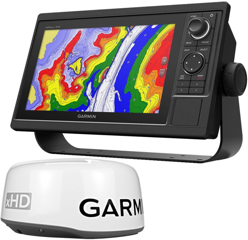
As the quintessential tool for modern sailors, the C-MAP 4D charts are designed with forward-thinking technology, delivering an interactive and highly detailed digital charting experience. The versatility and upgradeable nature of C-MAP 4D make it a superior choice for anyone requiring accurate and in-depth chart information. With continuous updates and expansions, these charts ensure that boaters and captains have the most current data at their fingertips, promoting safety and precision on the water.
Seamlessly Integrates With Top Marine Electronics
Compatibility is crucial in marine electronics, and the C-MAP 4D charts smoothly interface with Furuno 1670F / 1870F as well as Standard CPN 7000i, and CPN1010i navigation systems. The ease of integration with these popular units assures that users can take full advantage of C-MAP 4D features without the need to replace existing equipment. This plug-and-play solution simplifies the upgrade process, making it a user-friendly option for anyone looking to improve their navigational resources.
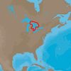
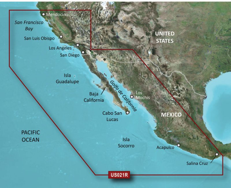
The NA-D932 Lake Huron and Georgian Bay chart delivers an expansive and meticulous mapping of these iconic Canadian waters. Mariners setting sail in this vast area can trust in the substantial details provided, ensuring safe passage and successful navigation around the complexities of these freshwater basins.
The Ultimate Charting Features for Enhanced Navigation
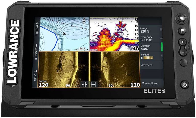
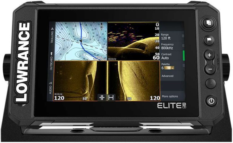
The robust feature set of C-MAP 4D encompasses everything from high-resolution bathymetry to dynamic tides and currents information, all aimed at heightening the mariner's perception of the undersea environment. Among the superior capabilities are 3D chart views, satellite imagery overlays, and improved coastal roads and points of interest, which are invaluable for both route planning and situational awareness.
With user-selectable safety depth contours, you can customize the display to highlight shallow areas, ensuring that your vessel remains within safe operating depths. Additionally, harbor charts, marine protected areas, and detailed marina port plans are included, making it a comprehensive tool for mariners navigating the diverse waterways of Lake Huron and Georgian Bay.
Expanding Your Navigational Know-How with FAQs
Q: How does C-MAP 4D integrate with my current marine navigation setup?
C-MAP 4D seamlessly integrates with popular models such as Furuno 1670F / 1870F, Standard CPN 7000i, and CPN1010i, ensuring compatibility and enriched navigation for users.
Q: How comprehensive is the coverage provided by the NA-D932 chart?
The NA-D932 chart delivers extensive and accurate mapping for the entirety of Lake Huron and Georgian Bay, providing peace of mind and detailed insights for every voyage.
Q: What advanced features can I expect from C-MAP 4D?
Expect cutting-edge features including high-resolution bathymetry, dynamic tides and currents data, 3D views, and enhanced satellite imagery with C-MAP 4D charts.
Q: Who will benefit from using C-MAP 4D charts?
Both professional mariners and recreational boaters will find C-MAP 4D charts to be invaluable aids for navigation, with tools and features adaptable to various types of maritime endeavors.
In summary, the C-MAP 4D NA-D932 marine chart transforms navigation, merging precision with ease of use for Lake Huron and Georgian Bay. This product not only elevates the marine experience but also instills confidence in navigators as they traverse these waters. Whether you seek the best in safety or the pinnacle of navigation technology, C-MAP 4D offers a professional-grade solution for every seafarer.


Mariam –
Allyson –
Lashae –
Laney –
Kasi –