The C-MAP 4D NA-940 is a dynamic and fully-featured electronic marine chart solution, perfect for boaters and professional mariners who navigate the waters of Cape Cod, Long Island, and the Hudson River. Designed to facilitate advanced and up-to-date navigation, C-MAP 4D charts are acclaimed for their detailed cartography and myriad of user-friendly features. In an industry where accuracy and detail can mean the difference between a smooth journey and a navigational challenge, the advanced capabilities of C-MAP 4D technology are invaluable.
With compatibility for a wide array of marine electronics, including popular models such as Furuno 1670F / 1870F, and Standard Horizon CPN 7000i, and CPN1010i units, the NA-940 chart is a versatile choice for a range of vessels. From leisurely cruises to commercial voyages, having precise and comprehensive chart detail ensures safer and more efficient navigation.
Gain access to a wealth of navigation data, detailed seabed imagery, and valuable local knowledge of the regions covered by the C-MAP 4D NA-940 chart.
Unlock Advanced Nautical Navigation with C-MAP 4D
Below are some of the most commonly asked questions to help you understand how C-MAP 4D charts can enhance your on-water experience.
1. What devices are compatible with the C-MAP 4D NA-940 chart?
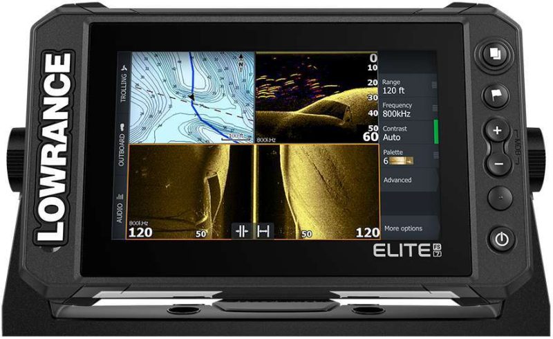
Compatibility extends to top marine electronic systems, including Furuno 1670F / 1870F, as well as the Standard Horizon CPN 7000i and CPN1010i chartplotter series. These systems are widely utilized within the boating community and are known for their reliability and advanced features when paired with C-MAP 4D charts.
2. What coverage does the C-MAP 4D NA-940 chart include?
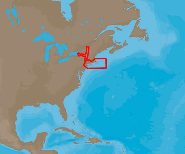
This chart is explicitly designed for boaters navigating the northeastern coasts of the United States. It provides thorough coverage of critical marine areas including Cape Cod, Long Island, and the Hudson River. This detailed coverage ensures that mariners can confidently chart a course with access to detailed contours, spot soundings, and crucial navigational aids. Not to mention, the intricate details of marinas, harbors, and shorelines that are necessary for safe coastal navigation and port approach.
Whether you are planning a fishing trip near Cape Cod, a sailing adventure by Long Island, or a commercial transport along the Hudson River, the C-MAP 4D NA-940 delivers the latest chart data and navigational aids to ensure your marine adventures are less about guessing and more about enjoying the voyage.
For boaters who want to ensure a safe and enjoyable journey, the C-MAP 4D NA-940 chart is the ultimate tool for enhanced maritime navigation. Take advantage of the cutting-edge features offered by this advanced charting technology, and set sail knowing you have accurate, detailed, and up-to-date nautical information at your fingertips.





Misti –
Rani –
Megan –
Kristine –
Antoinette –