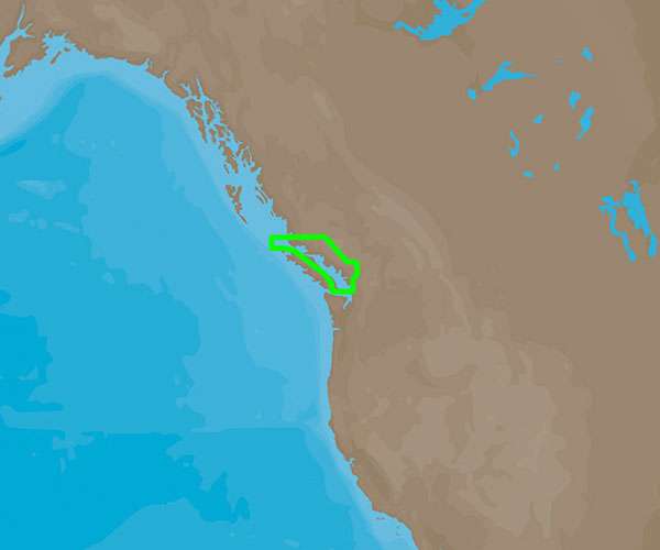
The C-MAP 4D San Juan Islands to Nigei Island – NA-D957 is a comprehensive marine chart offering a multitude of features that are essential for safe and relaible navigation. Here are some of the key features that set this product apart:
- Wide Coverage: Authoritative and detailed cartography from the San Juan Islands to Nigei Island, which is valuable for a broad range of activities, including cruising, fishing, and sailing.
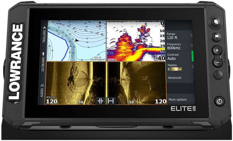
- Compatibility: Seamless integration with a variety of popular chartplotters, such as Furuno 1670F / 1870F, and Standard CPN 7000i, and CPN1010i units.
- Customization: Ability to add additional data and services as they become available, allowing users to enhance their navigational experience.
- High Accuracy: Provides highly accurate and up-to-date data which includes depth contours, navigation aids, and points of interest for boaters.
- Multi-Dimensional Charts: Offers the convenience of 2D and 3D chart views to aid in comprehension and situational awareness.
- Dynamic Updates: Equipped with regular updates to ensure the most reliable and current navigation information.
- Versatile Use: Suitable for both recreational and commercial boaters, meeting a wide spectrum of navigational needs.
- Detailed Marina Port Plans: Close-up views of marinas and harbor charts to assist in docking and shore-side activities.
- Weather and Tidal Information: Options for live weather overlays and marine forecasts along with tidal and current prediction data.
- AIS Integration: Capability to integrate real-time Automatic Identification System (AIS) tracking for enhanced safety and situational awareness on the water.
This product, with its wide range of applications, is well-suited to enhance the boating experience, whether one is navigating familiar waters or adventuring through new passages. With its ease of use, accuracy, and comprehensive detail, the C-MAP 4D San Juan Islands to Nigei Island – NA-D957 chart is an essential tool for sailors and boaters navigating this specific region.




Cristi –
Lacey –