

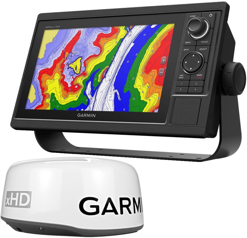
The Garmin VUS009R BlueChart g3 Vision HD is a premium chartplotter that has revolutionized the way mariners navigate the coastal waters from Jacksonville to Key West. With its integration of Garmin and Navionics data, sailors and boaters are equipped with the most up-to-date, accurate information available.
One of the standout characteristics of this product is its innovative Auto Guidance feature. By incorporating chart data and desired parameters such as depth and overhead clearance, it crafts a suggested route, elevating the ease of navigation and taking the guesswork out of plotting courses. This sophisticated guidance is designed to streamline your travel through intricate waterways, ensuring you have a stress-free and pleasant voyage.
For those who value clarity and detail, the BlueChart g3 Vision HD steps up with high-resolution relief shading. This advanced visual aid transforms bathymetric data into a vivid map, providing an almost 3-dimensional view of the ocean floor. This enhancement is especially valuable for anglers and divers seeking to explore the depths off the Florida coast.
Concerning coverage, this chartplotter offers extensive and meticulously detailed maps of coastal regions. Boaters can download NOAA Raster Cartography2 via the ActiveCaptain app, accessing valuable depth ranges and shallow water shading. This assists to navigate safely and confidently, particularly in unfamiliar or challenging waters.
A high level of situational awareness is crucial while on the water, and the BlueChart g3 Vision HD addresses this with high-resolution satellite imagery. With detailed images of landmarks such as ports, marinas, and bridges, mariners can improve their orientation and ensure they make informed decisions en route.
The added perk of unique 3-D views like MarineEye and FishEye expand the user's perspective both above and below the waterline. These views can transform your understanding of marine and coastal environments, potentially enhancing fishing trips, scuba diving excursions, or leisurely cruises.
It is vital for users to remember that the Auto Guidance is a supplemental tool and should not fully replace manual navigation to ensure safety. Similarly, it's worth noting that the raster cartography is not supported on certain devices like echoMAP CHIRP and ECHOMAP Plus combos, but can be utilized through companion apps on smartphones and tablets.
Garmin VUS009R BlueChart g3 Vision HD FAQs:
1. How does the Auto Guidance feature work?
The Auto Guidance uses sophisticated algorithms to suggest the most efficient routes based on your specific preferences for depth and overhead clearance, which is a boon for both novice and experienced mariners.
2. Can you explain the benefits of relief shading?
Relief shading on the BlueChart g3 Vision HD is a game-changer—it depicts the seafloor's topography in stunning detail, enabling boaters to understand the terrain beneath the waves better than ever before.
3. What advantages does NOAA Raster Cartography2 offer?
The NOAA Raster Cartography2 enriches your navigation with additional water depth detail and is particularly beneficial in promoting navigational safety in shallow and complex waters.
4. Are there limitations to viewing raster cartography?
Yes, raster cartography viewing is limited on some hardware platforms such as echoMAP CHIRP and ECHOMAP Plus combos, but remains accessible on mobile applications for greater convenience.
5. What makes MarineEye and FishEye views unique?
These innovative 3-D perspectives offer you a bird's-eye or fish's-eye view respectively, enriching your understanding and interaction with the marine environment in a way traditional charts cannot.


Alysse –
Virgil –
Denver –
Chi –
Hana –