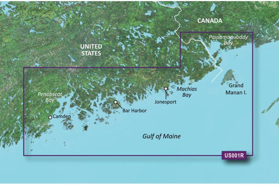
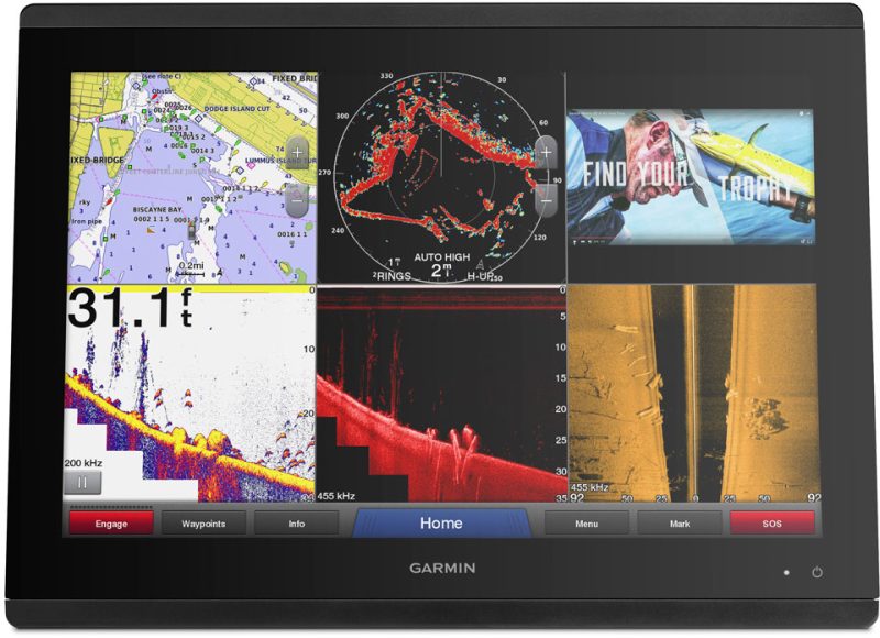
The BlueChart g3 Vision HD – VUS001R – North Maine – microSD/SDC provides the best coastal navigation charts with integrated Garmin and Navionics data. The Auto Guidance feature helps calculate the best routes based on depth and overhead clearance. The high-resolution relief shading technology combines color and shadow for a more realistic view of bottom structures. With depth range shading, you can easily view target depth, while up to 1′ contours give you accurate depictions of bottom structures, making it easier to navigate in swamps, canals, and marinas.
For a more detailed view, you can download the free NOAA Raster Cartography2 via the ActiveCaptain app. This feature provides detailed images of ports, marinas, bridges, and navigational landmarks for better navigation. Additionally, the MarineEye and FishEye views offer a unique perspective above and below the water line.
It is important to note that the Auto Guidance feature is for planning purposes only, and safe navigation operations should always be followed. Moreover, raster cartography cannot be viewed on echoMAP CHIRP and ECHOMAP Plus combos but can be viewed on mobile devices via the ActiveCaptain mobile app.
Frequently Asked Questions
1. How does the Auto Guidance feature work?
The Auto Guidance feature in the BlueChart g3 Vision HD calculates the best routes based on depth and overhead clearance. It helps you plan your route by suggesting the safest paths to navigate.
2. What is the high-resolution relief shading technology?
The high-resolution relief shading technology combines color and shadow to provide a more realistic view of bottom structures. This helps you have a better understanding of the underwater terrain you are navigating.
3. Can I view raster cartography on all devices?
Raster cartography can be viewed on mobile devices via the ActiveCaptain mobile app. However, it cannot be viewed on echoMAP CHIRP and ECHOMAP Plus combos.
4. What does the MarineEye and FishEye views offer?
The MarineEye and FishEye views offer a unique perspective above and below the water line. They provide detailed images of ports, marinas, bridges, and navigational landmarks, enhancing your navigation experience.




Leobardo –
Tashika –
Buddy –
Cody –
Janna –
Tarell –