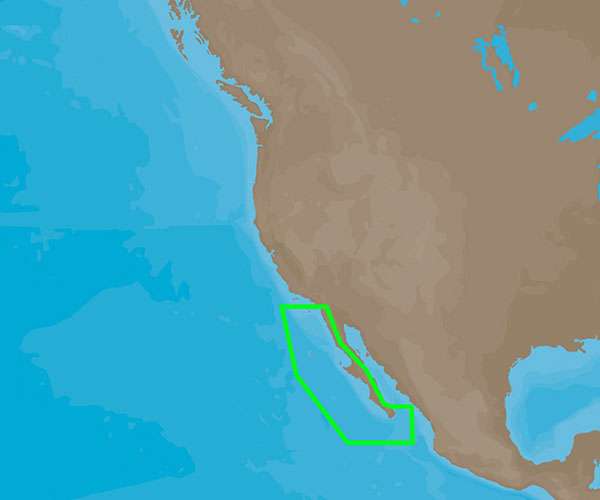
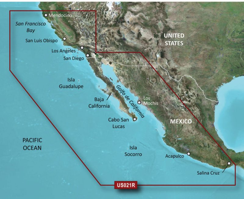
The C-Map 4D NA-D951 chart is a cutting-edge solution for mariners traveling from Cabo San Lucas, Mexico to San Diego, California. Whether you're a commercial fisherman, a leisure cruiser, or engaging in offshore racing, this chart offers unparalleled navigational support for your journey along the Pacific coast.
C-Map 4D technology is consistently pushing the boundaries of marine cartography by integrating comprehensive charting details with a vast array of navigational features. These charts are regularly updated, ensuring that sailors and boaters have access to the most current information about the waters they travel.
The NA-D951 model specifically caters to those who require detailed charting from the southern tip of the Baja California peninsula to the bustling maritime city of San Diego.
Enhanced Navigation with Superior Features
Boaters who choose C-Map 4D for their navigational aids benefit from a host of advanced features:
- Dynamic Raster Charts – Provide the traditional look of paper charts with all the advantages of digital information.
- High-Resolution Bathymetric Data – Offers detailed contours of the sea floor for better interpretation of underwater topography crucial for fishermen and divers.
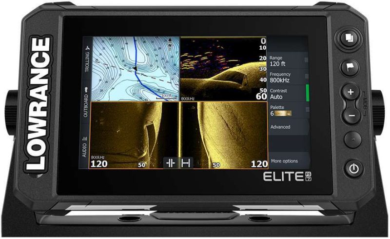
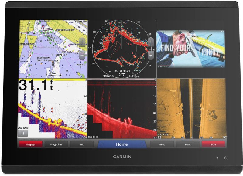
- 3D Views – Include both overhead and perspective underwater views to help visualize the seafloor as if you were actually there.
- Easy Routing – Helps to automatically plot the safest and shortest route based on the boat's draft, height, and width, saving time and fuel.
- Aerial Photography – Show real-world images of ports, harbors, and marinas, aiding in the recognition of navigation marks and access points.
- Tides and Current Predictions – Enable you to navigate safely by understanding how tides and currents will affect your course.
- Marina Port Plans – High detail diagrams of marinas to help plan dockage.
- Animated Weather Forecasts – Provide crucial information to plan your journey according to the weather conditions.
- Guardian Alarm – An extra safety layer that uses the vessel's parameters to alert for underwater obstructions.
By equipping yourself with the C-Map 4D NA-D951 chart for your compatible Furuno and Standard CPN units, your time spent on the water becomes safer, more efficient, and ultimately more enjoyable.
Frequently Asked Questions
1. What devices are compatible with C-Map 4D charts?
C-Map 4D charts are specifically engineered for compatibility with Furuno 1670F / 1870F, as well as the Standard CPN 7000i and CPN1010i units, ensuring a broad range of users can leverage advanced marine charting technology.
2. What area does the NA-D951 chart cover?
The C-Map 4D NA-D951 chart encompasses the crucial navigational corridor from Cabo San Lucas, MX to San Diego, CA, providing an extensive and detailed mapping solution for this busy maritime route.
3. What additional features and specifications does C-Map 4D NA-D951 offer?
Adding to its extensive list of features, the C-Map 4D NA-D951 offers navigators the opportunity to access accurate and detailed information to ensure a confident, secure, and informed navigation experience.
Whether you are planning a long voyage or a short excursion along the Pacific coastline, the C-Map 4D NA-D951 chart is an invaluable tool for seamless navigation. Set sail with confidence, knowing that you have the most advanced maritime charting technology at your fingertips.


Sondra –
Corrina –
Chantel –
Kally –
Andre –
Jonica –