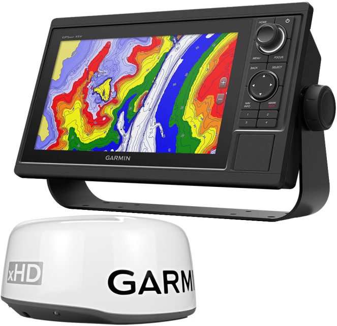
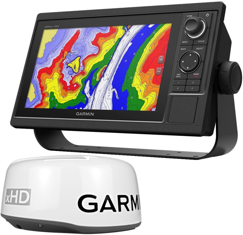
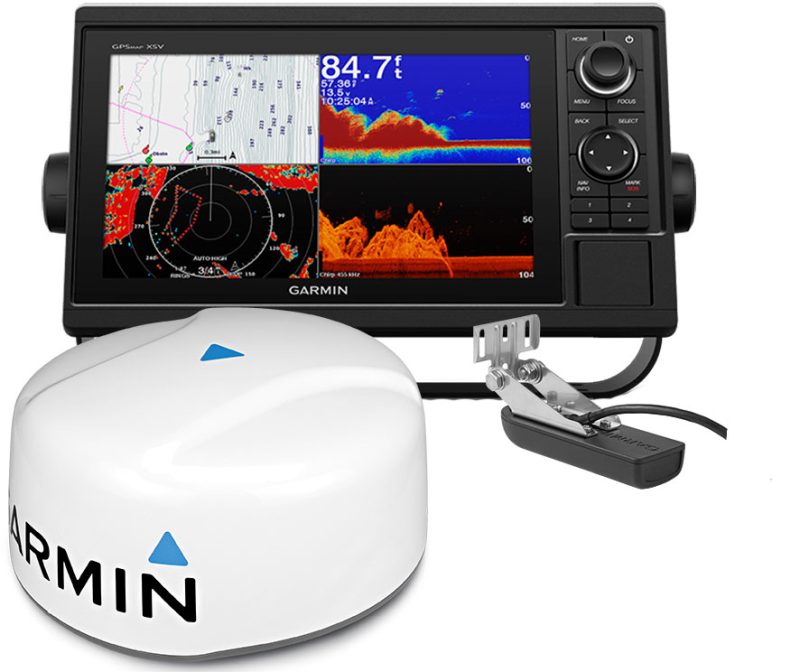
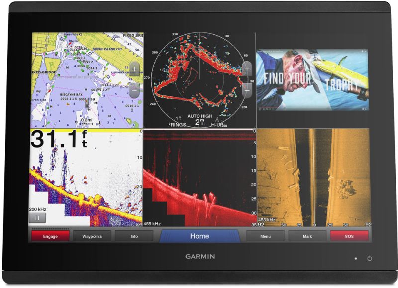
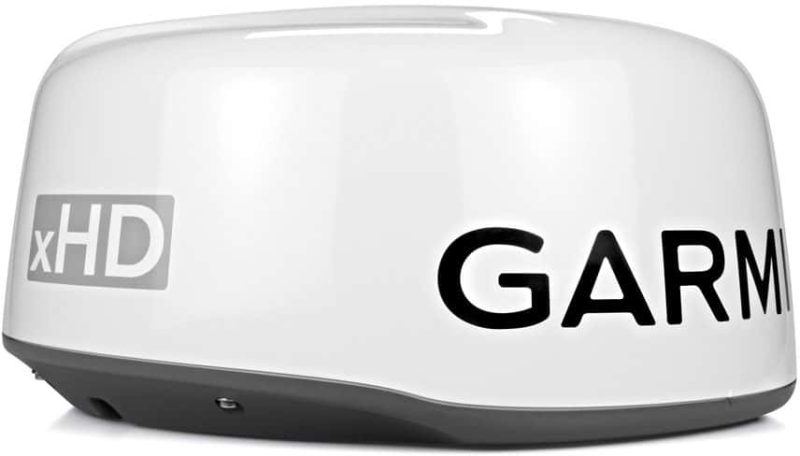
The Garmin GPSMAP 1042xsv Keyed Combo is an advanced marine navigation system designed for avid mariners and fishing enthusiasts who demand high performance, ease of operation, and feature-rich options. The combo includes a 10-inch chartplotter along with the GMR 18 xHD radar, providing comprehensive navigation and radar capabilities. The package also offers an exceptional sonar display, enhancing underwater visualization capabilities for both recreational and professional purposes.
The chartplotter features a keypad interface along with a multifunction control knob that simplifies operation and facilitates quick responses, particularly in rough sea conditions where touchscreens may be less effective. Preloaded with detailed LakeVu HD maps of the United States and the BlueChart g2 coastal charts, users gain access to a wealth of cartographic information for both inland and offshore navigation.
Here are some of the standout features of the Garmin GPSMAP 1042xsv Keyed Combo:
- 10-inch full-color chartplotter display for easy viewing and navigation
- CHIRP sonar technology providing clear and high-definition imagery of fish and structure
- Integrated ClearVu and SideVu for near-photographic images of what's below and to the sides of the boat
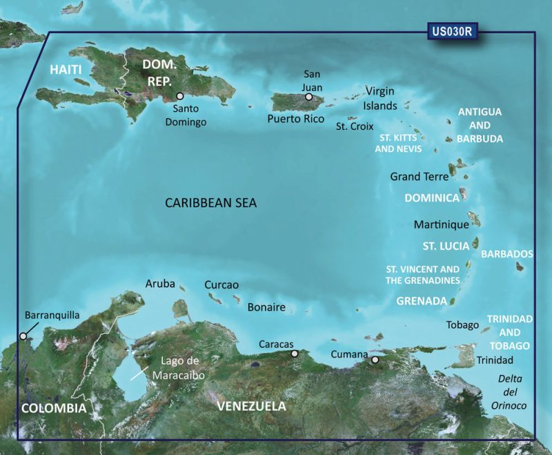
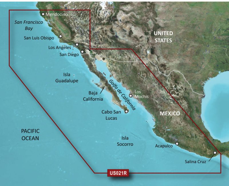
- Preloaded with LakeVu HD and BlueChart g2 charts for comprehensive map coverage of US, CA, and the Bahamas
- High-sensitivity internal gps and GLONASS receiver with a 10 Hz update rate
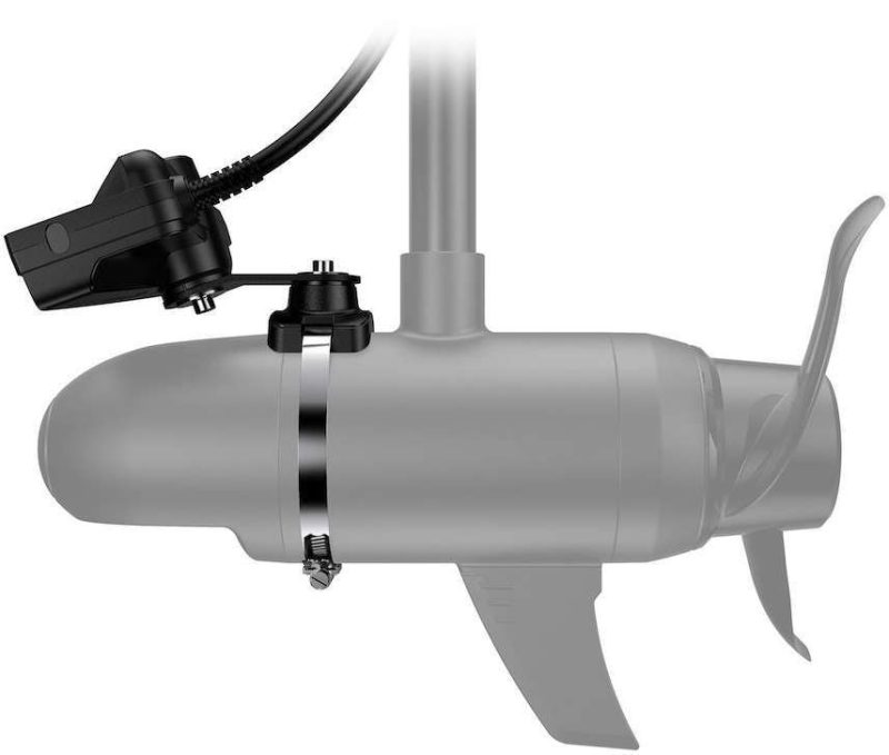
- Support for Panoptix all-seeing sonar for a revolutionary underwater view
- ActiveCaptain app compatibility for smart notifications, chart updates, and the Garmin Quickdraw Contours Community
- Customizable high-definition maps possible with Garmin's Quickdraw Contours software
- Option to upgrade to LakeVu HD Ultra, BlueChart g2 HD, or BlueChart g2 Vision HD with Auto Guidance
- SailAssist features providing crucial sailing data and pre-race guidance for sailors
With this Garmin chartplotter, users enjoy a seamless experience between their electronic device and their environment, whether they are cruising, sailing, or fishing. The flexibility to connect to additional maps and charts ensures that mariners are equipped with all the necessary tools for safe and efficient travel.
Frequently Asked Questions
Q: What is included in the package?
A: The package includes a 10-inch chartplotter, a sonar display, a powerful transducer, and preloaded maps. The GMR 18 xHD Radar is also part of this combo for enhanced situational awareness on the water.
Q: What type of GPS receiver does it have?
A: It features a high-sensitivity internal GPS and GLONASS receiver with a 10 Hz update rate, ensuring accurate and rapid position information.
Q: Can it be connected to a mobile device or other Garmin products?
A: Yes, it can be connected to compatible mobile devices and Garmin network products, enhancing the user experience through easy map updates and community engagement.
Q: Does it support Panoptix?
A: Indeed, it supports Panoptix sonar technology, delivering a comprehensive view around and below the boat.
Q: Can I upgrade to higher definition maps?
A: Upgrades are available to LakeVu HD Ultra, BlueChart g2 HD, or BlueChart g2 Vision HD, featuring Auto Guidance technology for premium navigation detail.
Q: Can I create customized maps?
A: Users can create their own high-definition maps using Quickdraw Contours and then choose to share them with the Garmin community or keep them private.
Q: Does it have any sail-assist features?
A: The chartplotter offers specialized SailAssist features that are invaluable for competitive sailing and cruising efficiency.





Philippe –
Akia –
Layla –
Falon –
Preston –
Genesis –
Roy –
Charlie –
Elliott –
Elliot –
Anderson –
Gideon –
Elbert –
Dathan –
Jessica –
Lezlie –