

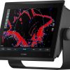
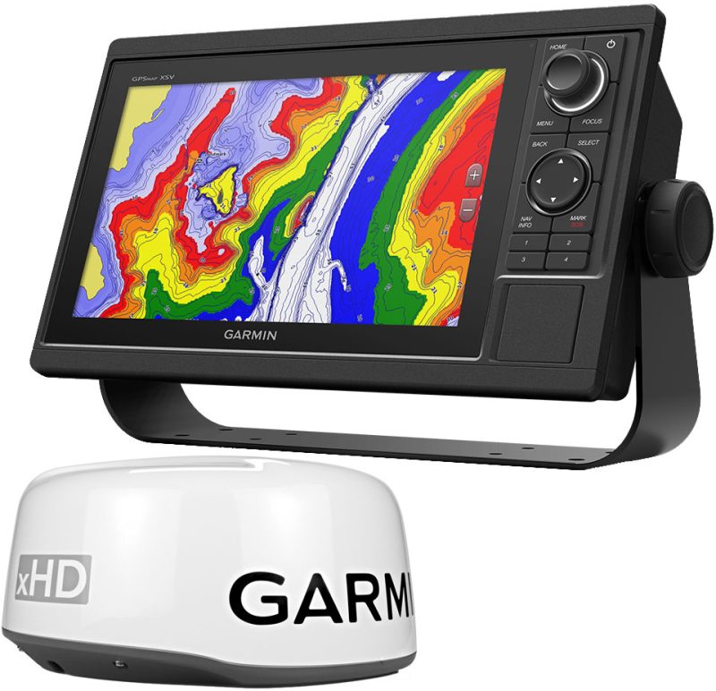
The Garmin GPSMAP 1243 chartplotter is an advanced marine navigation system designed to empower seafarers with precise and comprehensive chart data. The device features a high-resolution 12-inch touchscreen display, offering boaters a clear and detailed view to aid in navigation. The preloaded US+Canada+Bahamas BlueChart g3 – LakeVü g3 provides extensive mapping information, enhancing the overall sailing experience by combining reliable Garmin chart data with the content from Navionics.
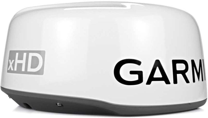
With the integrated BlueChart g3 coastal charts and LakeVü g3 inland maps, mariners gain access to essential navigational features like depth contours, marina points, navigational aids, and more. The compatibility of this chartplotter with a Panoptix FrontVü forward-looking sonar system ensures that mariners can make informed decisions when encountering underwater hazards. Additionally, the GPSMAP 1243 can be integrated with a broad range of Garmin accessories, augmenting its functionality and versatility, making it a valuable addition to any helm station.
Key Features of the Garmin GPSMAP 1243 Chartplotter:
- 12-inch High-resolution Touchscreen: Crystal-clear display for optimal viewing in all conditions.
- Preloaded BlueChart g3 Coastal and LakeVü g3 Inland Maps: Ready-to-use, detailed cartography for lakes and coastal areas in the US, Canada, Bahamas, and New Zealand.
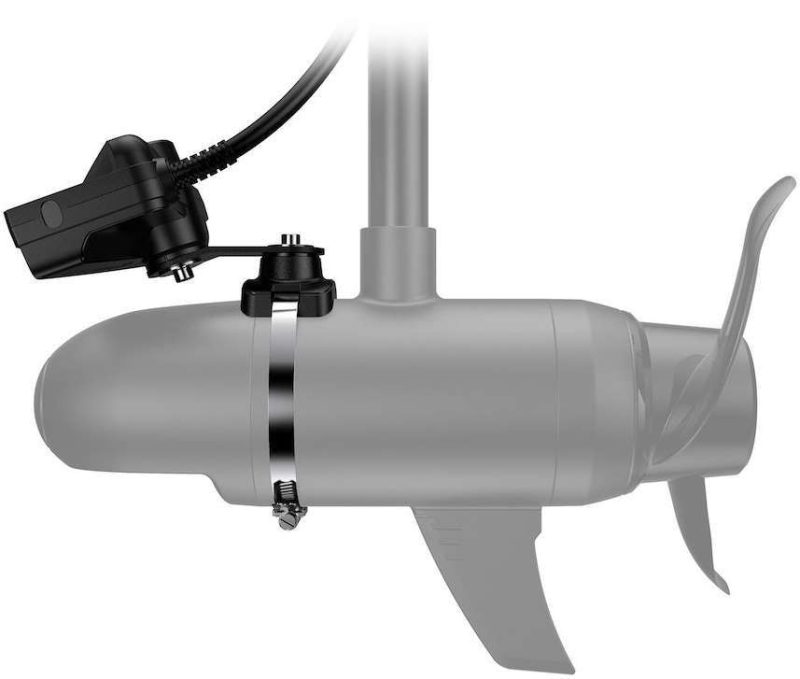
- Panoptix Sonar Support: Compatibility with Panoptix sonars, including Panoptix LiveScope and FrontVü for improved safety and fishfinding capabilities.
- Network Capabilities: Connect to a wide range of compatible Garmin devices for an integrated boating experience.
- Versatile Mounting Options: Sleek design that allows flexible installation options.
- User-friendly Interface: Intuitive operation with customizable screens to tailor the boating experience.
- Wireless Connectivity: Built-in Wi-Fi® for access to the ActiveCaptain app and other online features.
- Marine Networking: NMEA 2000 and NMEA 0183 support for easy integration with autopilots, digital switching, weather, media, VHF, AIS and other sensors.
Frequently Asked Questions
1. What charts are preloaded in the Garmin GPSMAP 1243 chartplotter?
The Garmin GPSMAP 1243 chartplotter comes with preloaded BlueChart g3 charts that cover the US, Canada, Bahamas, and New Zealand, including the LakeVü g3 inland maps, enhancing your situational awareness in various maritime environments.
2. What additional maps are included with the GPSMAP 1243 chartplotter?
While the primary focus is on the BlueChart g3 coastal and LakeVü g3 inland maps, additional mapping can be easily added through Garmin's extensive chart library, allowing for further customization based on the mariner's needs.
3. Can I install a sonar system with the GPSMAP 1243 chartplotter?
Yes, the Garmin GPSMAP 1243 chartplotter supports the integration of the Panoptix FrontVü forward-looking sonar system, along with other sonar modules, to elevate your fishing and navigation experience.
4. What other Garmin products can I pair with the GPSMAP 1243 chartplotter?
The versatility of the GPSMAP 1243 chartplotter enables it to connect with a suite of Garmin devices, including wind transducers for sailing data, wireless remote controllers for ease of use, or quatix marine smartwatches, offering a unified marine electronics network.


Nada –