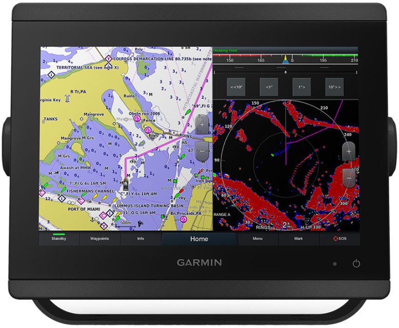
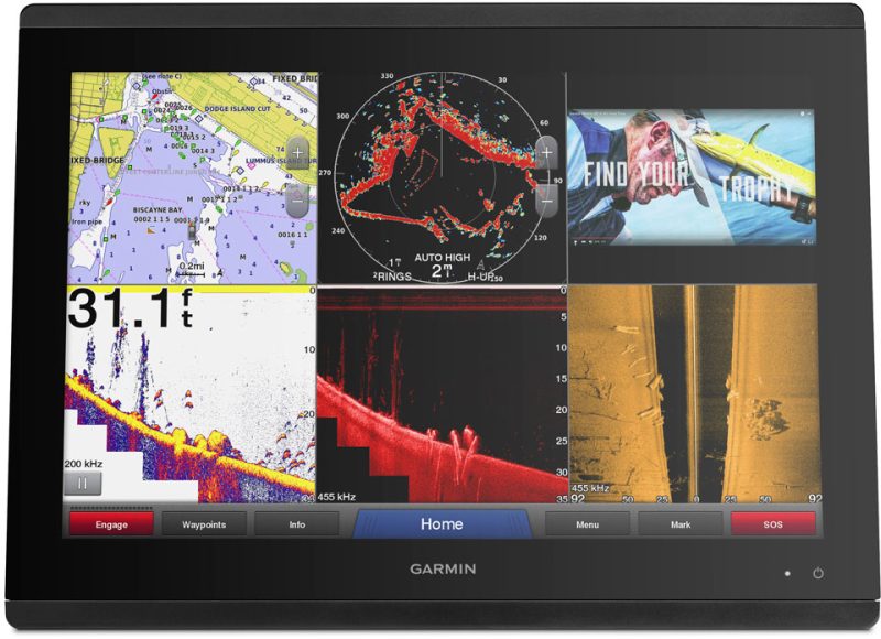
The Garmin GPSMAP 8610 is a chartplotter with a 10-inch touchscreen display that includes mapping capabilities. It has a high-definition IPS display and comes bundled with BlueChart g3 United States Coastal and LakeVü HD maps, as well as Navionics data and Auto Guidance technology.
This chartplotter is easy to operate and install, and it offers multi-function display (MFD) capabilities in a compact size similar to a laptop.
You can build your own marine electronics suite using NMEA 2000 networking and the Garmin Marine Network. This allows you to control and share your full suite of devices from the chartplotter across multiple screens.
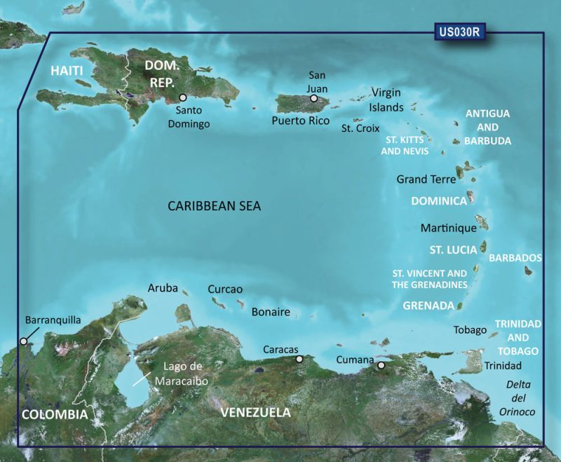
The GPSMAP 8610 comes preloaded with BlueChart g3 coastal cartography and LakeVü g3 inland mapping with Navionics data. These charts and maps are comprehensive, clear, and provide detailed information. The Auto Guidance technology suggests a path to a destination based on your boat's characteristics.
You can control your entire Garmin marine system remotely using the optional GRID 20 remote input device. This user-friendly device allows for easy navigation of the chartplotter menu and settings.
The chartplotter also offers exceptional yacht features such as Garmin SailAssist. This tool provides important data displays and pre-race counseling to give you a competitive advantage and help you make informed decisions. You can view information like wind angles, set and drift, wind speed, and customizable data fields.
To enhance your boating experience, you can use the ActiveCaptain app on your smartphone or tablet to control your marine devices remotely.
Please note that Auto Guidance is for planning purposes only and should not replace proper navigational procedures. Garmin is required to have a license to use the Bluetooth word mark or logos.
Frequently Asked Questions:
Q: What maps are included with the Garmin GPSMAP 8610?
A: The Garmin GPSMAP 8610 comes bundled with BlueChart g3 United States Coastal and LakeVü HD maps, as well as Navionics data.
Q: Can I control my entire Garmin marine system remotely?
A: Yes, you can control your entire Garmin marine system remotely using the optional GRID 20 remote input device.
Q: What features does the Garmin SailAssist provide?
A: The Garmin SailAssist provides important data displays and pre-race counseling to give you a competitive advantage. You can view information such as wind angles, set and drift, wind speed, and customizable data fields.
Q: Can I use my smartphone or tablet to control my marine devices?
A: Yes, you can use the ActiveCaptain app on your smartphone or tablet to control your marine devices remotely.
Q: What is the purpose of the Auto Guidance technology?
A: The Auto Guidance technology suggests a path to a destination based on your boat's characteristics. However, it is important to note that it is for planning purposes only and should not replace proper navigational procedures.
Q: Does Garmin have the necessary license to use the Bluetooth word mark or logos?
A: Yes, Garmin is required to have a license to use the Bluetooth word mark or logos.





Torrie –
Cruz –
Layla –
Ayden –
Penelope –
Crew –
Nora –
Omar –
Abraham –
Elias –
Loyd –
Kaleb –
Griffin –
Isla –
Tristan –
Natali –
Martin –
Roman –
Matteo –
Ira –
Krystalyn –