

The Garmin HUS048R BlueChart g3 HD – Bermuda enhances your marine experience by providing exceptional chart detail and clarity to your chartplotter. With coverage areas including Saint George's Island and Harbour, Harrington Sound, Somerset Island, Great and Little Sounds, Hamilton Island, and Castle Harbour, you have everything you need for a safe and informed journey across the beautiful waters of Bermuda.
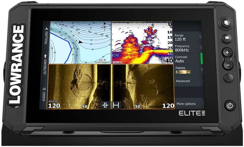
With an improved navigation experience due to the integration of Garmin and Navionics data, boaters can enjoy advanced mapping technology. This product includes precise contours for up to ten depth ranges so that you get a clearer understanding of the seafloor structure. For boaters who prefer the traditional look of paper charts, the NOAA raster cartography option is a downloadable feature, available through the ActiveCaptain app, providing an additional level of detail that can be particularly useful for planning your marine excursions.
The Auto Guidance1 technology simplifies navigation by automatically suggesting the best paths to take, considering your desired depth and overhead clearance, which makes planning your route straightforward and stress-free. The chart also comes with distinctive features designed to enhance your navigational experience:
- Depth Range Shading: This shows high-resolution depth contours for up to ten separate depth ranges, allowing you to quickly view target depths at a glance.
- Shallow Water Shading: This feature allows you to shade all depths shallower than what your vessel can safely navigate, which aids in preventing running aground and enhancing situational awareness.
- The ability to download NOAA Raster Cartography at no additional cost, which supplements your navigation with traditional paper chart-like images.
Note that while the NOAA raster cartography can be a powerful planning tool, it's designed to be used in conjunction with other navigation methods and should not be solely relied upon for safe navigation.
Frequently Asked Questions
Q: Can I use the Garmin HUS048R BlueChart g3 HD – Bermuda in any chartplotter?
A: The Garmin HUS048R BlueChart g3 HD – Bermuda is designed for compatibility with chartplotters that support microSD/SDC cards. Be sure to check your chartplotter's specifications for compatibility.
Q: Can I download the NOAA Raster Cartography for free even if I don't have the BlueChart g3 HD – Bermuda?
A: Yes, the NOAA Raster Cartography can be downloaded for free via the ActiveCaptain app, regardless of whether you've purchased the BlueChart g3 HD – Bermuda or not. Keep in mind that this feature is intended for planning and should complement, not replace, safe navigation practices.
Q: Are there any additional charges for using the BlueChart g3 HD – Bermuda?
A: When you purchase the BlueChart g3 HD – Bermuda, there are no subsequent charges for its use. Each region, including the Bermuda region, is sold individually, so you can choose the coverage that's right for your boating needs.


Shunta –
Christen –
Anny –
Joan –
Shamekia –