The Garmin LakeVü Ultra U.S. G3 HD – West is a top-tier freshwater fishing map designed for avid anglers who demand precision and detail in their pursuit of the catch. The product presents exceptional coverage and detailed information about more than 17,000 lakes across the western United States. Among its many features, anglers can enjoy:
- 1-foot contours for precise depth information
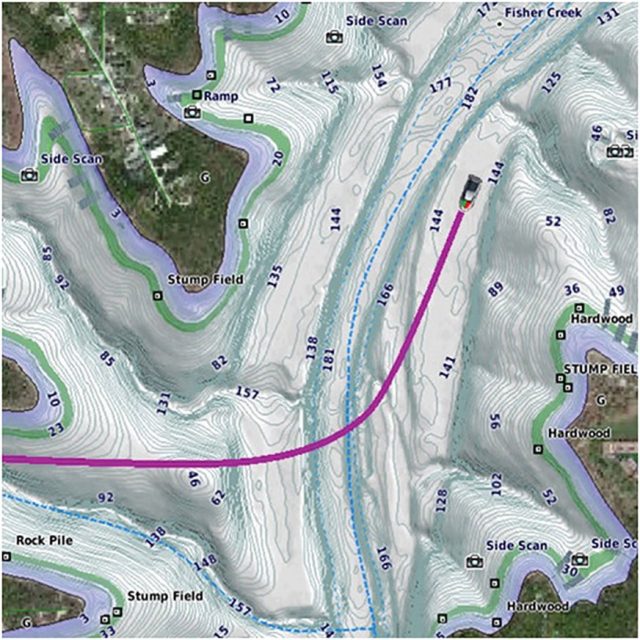
- Auto Guidance technology for route planning based on boat specifications
- Integration of Garmin and Navionics data for comprehensive mapping
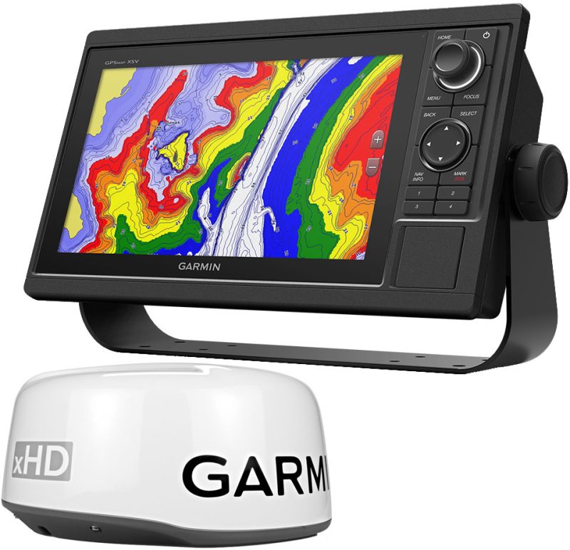
- High-resolution relief shading for enhanced bottom structure visibility
- Over 5,900 lakes with detailed contours including more than 75 Garmin Elite survey lakes
With these features, anglers can navigate bodies of water more effectively, making the LakeVü Ultra map an essential tool for any fishing trip.
The map's Auto Guidance technology provides an invaluable resource for planning trips by allowing users to specify their desired depth and overhead clearance, upon which the map proposes the most efficient route for navigation. Keep in mind that while this feature aids in route planning, it does not replace the necessity of maintaining safe navigation practices on the water.
Beyond simply providing lake contours, the product ensures that users have the most accurate and current data available thanks to regular updates that fuse Garmin and Navionics content. High-resolution relief shading enhances user experience by using color and shadows, making the underwater terrain easier to interpret and targeting fish habitats more efficient.
Frequently Asked Questions
1. Can I use this fishing map in any Garmin device?
While the Garmin LakeVu Ultra Fishing Map – U.S. G3 HD – West is compatible with most Garmin devices, it is always advisable to check your device against the compatibility list to ensure optimal performance.
2. How often is the data on the fishing map updated?
Data for the LakeVü Ultra Fishing Map is regularly updated, giving anglers peace of mind that they are accessing the latest information, which is essential for a fruitful fishing experience.
3. Can I use Auto Guidance for navigation?
The Auto Guidance feature is a planning tool and should not be the sole means of navigation. It is crucial to combine its guidance with proper safety measures and common sense when on the water.
4. How many lakes are covered in the western region of the United States?
With the western card, users gain access to detailed data on over 5,900 lakes, including exclusive Garmin Elite survey lakes, which can help significantly in planning successful fishing adventures in the region.
5. Does the fishing map include bottom structure information?
Yes, discerning anglers will appreciate the high-resolution relief shading that makes it easier to see and understand the bottom structure – a critical factor in locating prime fishing spots.





Paxton –
Noemi –
Cherri –
Lean –
Jermane –
Nena –