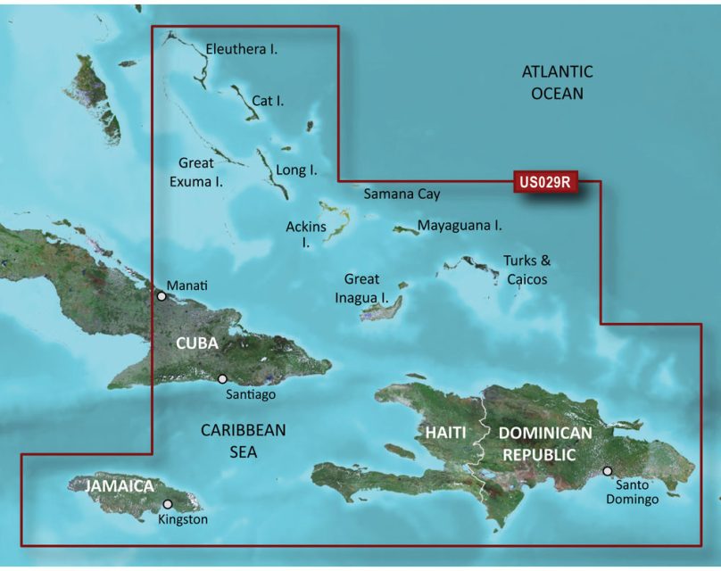
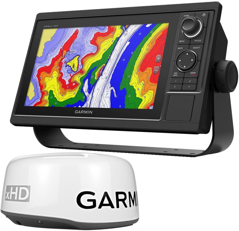
The microSD/SDC BlueChart g3 Vision HD – VUS029R – Southern Bahamas offers updated coastal charts with industry-leading coverage, clarity, and detail that include Garmin and Navionics data. This chart comes with the Auto Guidance tool which suggests routes and pathways based on your desired depth and overhead clearance. High-resolution relief shading adds color and shadow to provide a clearer and more readable representation of the bottom structure than contour lines alone can provide. With the BlueChart g3 Vision coastal charts, you get unmatched coverage and detail of the sea.
The ActiveCaptain program offers NOAA Raster Cartography2, a free downloadable feature providing up to ten depth ranges and shallow water shading. Access to high-resolution satellite photography provides situational awareness by giving comprehensive photographs of ports, marinas, bridges, and navigational markers. While planning, unique 3-D views, MarineEye, FishEye views, and Auto Guidance are accessible but they should never replace safe navigation operations.
While the product is not available on the echoMAP CHIRP and ECHOMAP Plus combinations, it can be accessed on mobile devices through the ActiveCaptain mobile app. It's important to know that this product may expose consumers to chemicals linked to cancer, birth defects, and reproductive damage in California. For more information, visit P65Warnings.ca.gov.
Frequently Asked Questions
What is the Auto Guidance tool?
The Auto Guidance tool is a feature that suggests routes and pathways based on your desired depth and overhead clearance. It helps with route planning and navigation.
What is relief shading?
Relief shading is a high-resolution visualization technique that adds color and shadow to the coastal charts, providing a clearer and more readable representation of the bottom structure compared to contour lines alone.
What is the ActiveCaptain program?
The ActiveCaptain program is a platform that offers various features for marine navigation, including NOAA Raster Cartography2 for depth ranges and shallow water shading, access to high-resolution satellite photography, and 3-D views, MarineEye, FishEye views, and Auto Guidance for planning. However, it should never replace safe navigation operations.
Can I use this product on echoMAP CHIRP and ECHOMAP Plus combinations?
No, this product is not available on echoMAP CHIRP and ECHOMAP Plus combinations.
Can I access this product on mobile devices?
Yes, you can access this product on mobile devices through the ActiveCaptain mobile app.
Are there any safety warnings or considerations for using this product?
Yes, this product may expose consumers to chemicals linked to cancer, birth defects, and reproductive damage in California. For more information, please visit P65Warnings.ca.gov.



Arman –
Ileana –
Jess –