

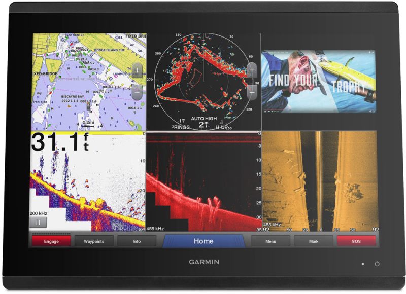
C-MAP 4D Electronic Marine Charts are a cutting-edge navigation solution for boaters. These charts are designed to cater to a wide range of boating activities, from recreational cruising to serious fishing. The charts offer a variety of advanced features that improve situational awareness and safety at sea. Crucially, they can be customized with additional data and services, ensuring that mariners have the most current and comprehensive information available.
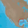
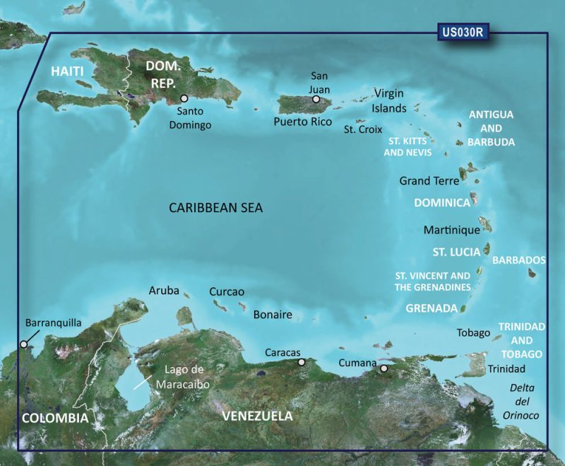
The C-MAP 4D cartography is known for its high level of detail and broad compatibility, including with devices like the Furuno 1670F / 1870F, as well as Standard CPN 7000i and CPN1010i units. The NA-D945 version specifically covers the geographical area from New Orleans to Brownsville, a stretch that is popular for both commercial and leisure activities in the Gulf of Mexico.
The C-MAP 4D New Orleans to Brownsville – NA-D945 charts are notable for their feature-rich content, which includes:
- High-resolution bathymetric data ideal for fishermen and divers.
- Detailed marina charts and information for easier docking and local knowledge.
- Dynamic tides and currents data for better planning and navigation.
- Photos and diagrams for selected marinas and points of interest.
- Land elevation and panoramic views for better awareness of surrounding areas.
- Easy routing with suggested courses based on chart data and navigation aids.
With these features, the charts not only serve as a tool for navigation but also significantly contribute to the strategy and pleasure of sailing in the region.
Frequently Asked Questions about C-MAP 4D New Orleans to Brownsville – NA-D945
1. What devices are compatible with C-MAP 4D New Orleans to Brownsville – NA-D945?
The C-MAP 4D New Orleans to Brownsville – NA-D945 is compatible with Furuno 1670F / 1870F, as well as Standard CPN 7000i and CPN1010i units. This wide compatibility ensures that a range of users can access and utilize these comprehensive charts.
2. What area does the NA-D945 version of C-MAP 4D cover?
The NA-D945 version of C-MAP 4D covers the critical maritime corridor from New Orleans to Brownsville. This area includes a mix of busy shipping routes, prime fishing grounds, and recreational boating spots.
3. Can C-MAP 4D be customized with additional data and services?
Yes, the C-MAP 4D charts can be customized with additional data and services, making this navigation tool scalable and adaptive to new developments and updates, providing an ever-evolving boating experience.


Celeste –
Joshue –
Aleena –
Evonne –
Shanel –