FAQs
1. What is the screen size of the Garmin GPSMAP 8610xsv?
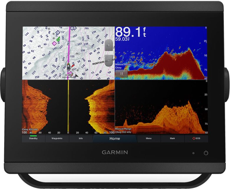
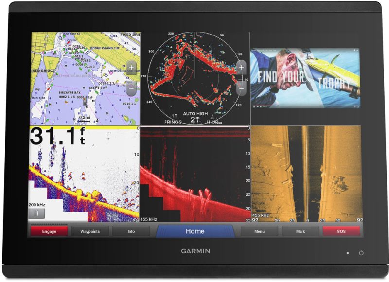
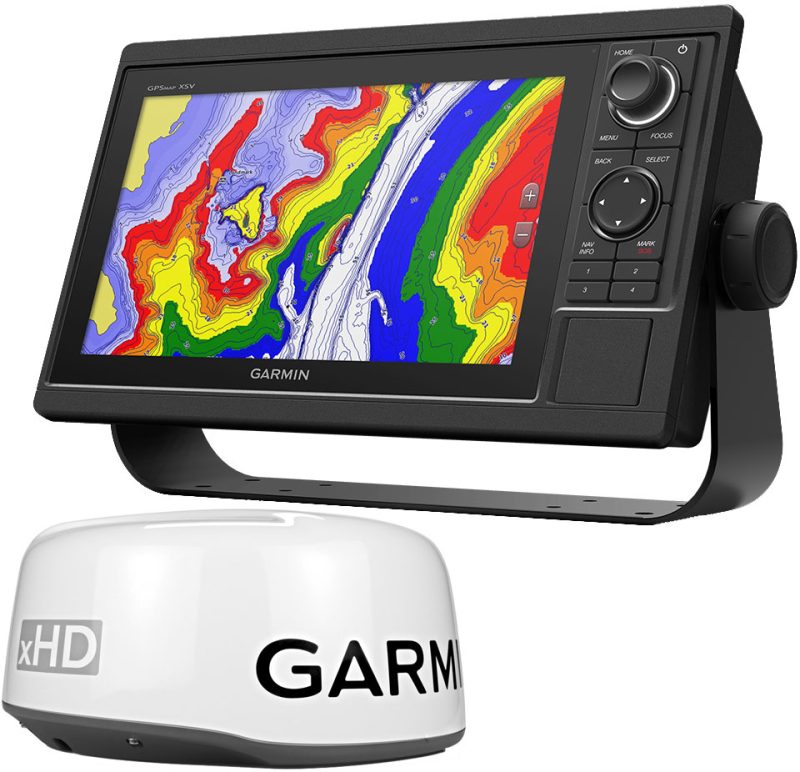
The Garmin GPSMAP 8610xsv has a 10-inch In-plane Switching (IPS) Touchscreen Chartplotter/sonar Combo Display with Full HD Resolution.
2. Is the screen readable in direct sunlight?
Yes, the 10-inch screen of the GPSMAP 8610xsv is designed to be easily viewable in direct sunlight.
3. Can I use polarized sunglasses with this device?
Yes, the Garmin GPSMAP 8610xsv is compatible with polarized sunglasses.
4. What type of mapping is preloaded on this chartplotter?
The GPSMAP 8610xsv comes preloaded with BlueChart g3 coastal cartography and LakeVü g3 inland mapping utilizing Navionics data.
5. Does this device have a feature to prevent running aground?
Yes, the Auto Guidance technology on the GPSMAP 8610xsv displays an easy-to-follow path to a destination, helping to prevent running aground.
6. Does the chartplotter have wireless capabilities?
Yes, the GPSMAP 8610xsv includes Bluetooth and ANT technologies, as well as Wi-Fi networking capabilities.
7. Can I pair the chartplotter with a mobile app?
Yes, you can easily pair the GPSMAP 8610xsv with the ActiveCaptain app using the built-in Wi-Fi technology. The app provides access to OneChart, smart notifications, and more.
8. Does this chartplotter work with third-party marine devices?
Yes, the Garmin GPSMAP 8610xsv is compatible with Garmin's OneHelm system, which can coordinate multiple onboard marine devices manufactured by third parties.
9. What ports are available on the GPSMAP 8610xsv?
The chartplotter has two Garmin Marine Network Ports, three transducer ports, one differential and one standard NMEa 0183 input port.
10. Are there different mounting options available for this device?
Yes, there are a variety of mounting and flush mount hardware kit options available for the GPSMAP 8610xsv.




Damen –