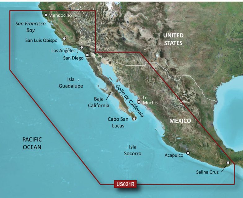
BlueChart g2 HD – microSD/SDC – HXUS021R – California to Mexico coverage includes Point Arena to Puerto Vallarta, Mendocino, San Francisco Bay, the Channel Islands, San Diego, and the Baja Peninsula.
This comprehensive chart offers complete protection for the coast of Mexico, including the cities of Mazatlan, Acapulco, and Salina Cruz.
Our extensive selection of advanced charts is derived from government charts and private sources. These maps provide navigational aids such as spot soundings, depth contours, tides, currents, detailed ports, and marinas.
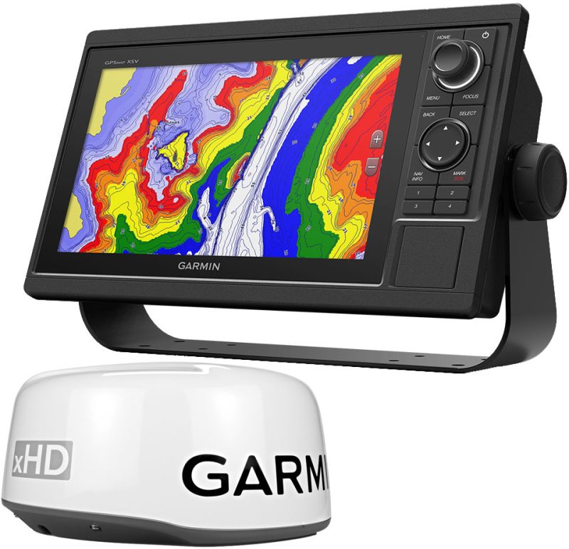
Depth Range Shading allows you to easily determine your desired depth. You can view up to ten different depth ranges.
Fine-resolution contours, with details as small as one foot, are beneficial for fishing charts and navigating marshes, canals, and marinas. They provide a more accurate representation of the bottom structure.
The Shallow Water Shading feature offers user-defined depth shading to assist with navigation.
Detailed charts give mariners confidence when entering or leaving ports.
High-resolution depth range shading is displayed for up to ten depth ranges, allowing you to see your selected target depth regardless of the depth range you are currently viewing.
BlueChart g2 HD provides detailed maps of contours, offering a more realistic portrayal of bottom structure. This is especially useful for fishing charts and provides greater detail in swamps, canals, and port layouts with contour lines that are one foot in width.
Frequently Asked Questions:
1. What areas does the California-Mexico BlueChart g2 HD cover?
The California-Mexico BlueChart g2 HD covers Point Arena to Puerto Vallarta, Mendocino, San Francisco Bay, the Channel Islands, San Diego, and the Baja Peninsula.
2. What navigational aids are included in this chart?
This chart includes spot soundings, depth contours, tides, currents, detailed ports, and marinas to help with navigation.
3. How many depth ranges can I view with this chart?
You can view up to ten different depth ranges with the Depth Range Shading feature.
4. Are the contours in this chart detailed?
Yes, the contours in this chart are fine-resolution and provide details as small as one foot, making them ideal for fishing charts and navigating marshes, canals, and marinas.
5. Does this chart have a feature to assist with navigating shallow waters?
Yes, the Shallow Water Shading feature allows for user-defined depth shading, making it easier to navigate shallow waters.




Amada –