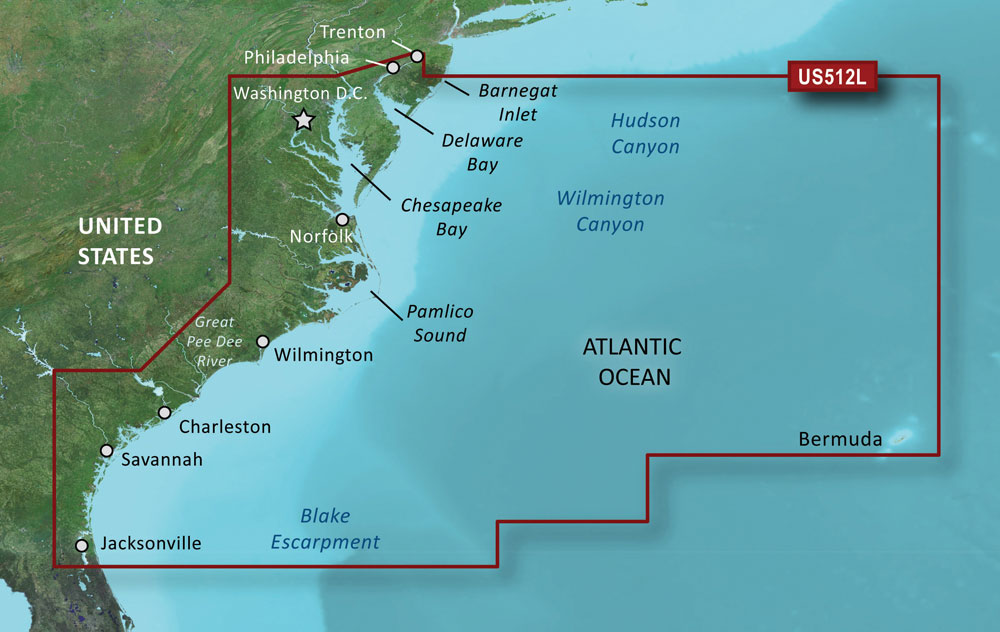
The Garmin VUS512L BlueChart g3 Vision HD – Mid-Atlantic is a comprehensive and updated coastal chart that covers the east coast including New Jersey, Florida, and Bermuda. It also includes the Delaware River, Chesapeake Bay, Albemarle and Pamlico Sounds, Cape Fear, NC, Savannah R. to Augusta, GA, and the St. Johns R. to Hastings, FL. Additionally, bathymetric coverage is provided for Wilmington, Baltimore and Washington Canyons, Charleston Valley and Savannah Seachannel.
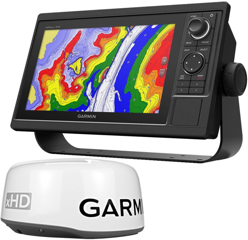
This coastal chart features integrated Garmin and Navionics data for detailed and accurate information, including Auto Guidance technology to calculate and offer pathways for safe navigation. High-resolution relief shading blends color and shadow to provide a sharper perspective of the bottom structure. Depth Range Shading provides the user with a clear understanding of the goal depth, while Shallow Water Shading indicates the depths to avoid in shallow water. The chart also features satellite imaging with high resolution for comprehensive photos of ports, marinas, bridges, and navigational markers.
The BlueChart g3 Vision HD also provides unique 3-D views, marine eye, and fisheye views for planning purposes only. For safe navigation operations, please use caution and observe all official maritime rules and regulations. For added convenience, the product can also be viewed on the ActiveCaptain mobile app.
Please note that this product may expose users to chemicals that have been linked to cancer, birth defects or reproductive damage in California. For further information, please refer to P65Warnings.ca.gov.
Frequently Asked Questions
1. Can this chart be used on any Garmin device?
Yes, the Garmin VUS512L BlueChart g3 Vision HD – Mid-Atlantic can be used on any Garmin device compatible with BlueChart g3 Vision or g3 mapping.
2. What kind of information does Auto Guidance technology provide?
Auto Guidance technology calculates and offers pathways for safe navigation, taking into account obstacles and other factors to provide the best possible route.
3. Are the satellite images available in real-time?
No, the satellite imaging on the BlueChart g3 Vision HD is not in real-time. It provides high-resolution photos of ports, marinas, bridges, and navigational markers for reference and planning purposes.
4. Can I view this product on my mobile device?
Yes, the Garmin VUS512L BlueChart g3 Vision HD – Mid-Atlantic can be viewed on the ActiveCaptain mobile app for added convenience.




Rosio –
Mariya –
Aspen –