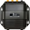
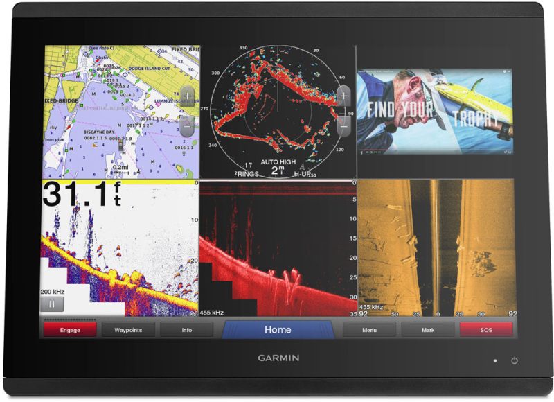
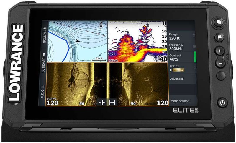
The Simrad StructureScan 3D Module is equipped with multi-beam sonar technology, offering high-resolution, 180° 3-dimensional images of underwater terrain and targets. This module provides easy-to-understand sonar pictures, a larger side scan range, and higher clarity. It is compatible with Lowrance HDS Gen3 fishfinder/chartplotters, Simrad NSS evo2, and NSO evo2 navigation systems.
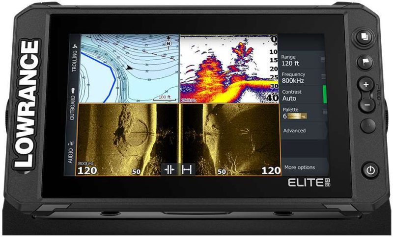
With the StructureScan 3D Module, users can view two-dimensional DownScan Imaging and StructureScan HD images, as well as realistic three-dimensional views. The transducer design has been improved with more sensors to enhance image performance. Users can adjust the view and perspective beneath their boat using predefined virtual point-of-view angles or the ScanTrack pan-tilt-rotate control mode.
The Leading Edge scanning reference instantly displays the coverage area, indicated by red fan-shaped indicators that represent the most recently scanned region. The SelectScan Target Identification feature makes it easier to identify targets by darkening fish-holding cover and suspended objects in a contrasting hue. The vertical augmentation tool highlights even minor depth changes compared to the surrounding underwater environment.
For easy navigation, the Waypoint Overlay tool creates a virtual buoy marker to revisit previously visited fishing grounds, underwater structures, and other landmarks. The module can be connected to up to three networked devices for seamless integration.
Frequently Asked Questions:
1. Can the StructureScan 3D Module be used with other fishfinder/chartplotter models?
Yes, the StructureScan 3D Module is compatible with Lowrance HDS Gen3 fishfinder/chartplotters, Simrad NSS evo2, and NSO evo2 navigation systems.
2. What types of sonar images can I view with this module?
With the StructureScan 3D Module, you can view two-dimensional DownScan Imaging and StructureScan HD images, as well as realistic three-dimensional views.
3. How does the transducer design enhance image performance?
The transducer design has been improved with more sensors, resulting in enhanced image performance and clarity.
4. Can I adjust the view and perspective beneath my boat?
Yes, you can adjust the view and perspective beneath your boat using predefined virtual point-of-view angles or the ScanTrack pan-tilt-rotate control mode.
5. What is the Leading Edge scanning reference?
The Leading Edge scanning reference instantly displays the coverage area, indicated by red fan-shaped indicators that represent the most recently scanned region.
6. How can I easily identify targets with the SelectScan Target Identification feature?
The SelectScan Target Identification feature darkens fish-holding cover and suspended objects in a contrasting hue, making it easier to identify targets.
7. Does the module highlight depth changes?
Yes, the vertical augmentation tool highlights even minor depth changes compared to the surrounding underwater environment.
8. Is there a tool to mark previously visited fishing grounds and landmarks?
Yes, the Waypoint Overlay tool creates a virtual buoy marker to revisit previously visited fishing grounds, underwater structures, and other landmarks.
9. How many devices can I connect to the StructureScan 3D Module?
You can connect up to three networked devices to the StructureScan 3D Module for seamless integration.





Monet –
Ryan –
Sophie –