FAQs
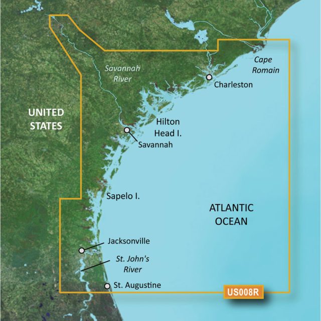
The Garmin VUS008R BlueChart g3 Vision HD is a maritime chart that offers boaters detailed and comprehensive navigational data from Charleston to Jacksonville. The chart is designed for seamless integration with Garmin chartplotters, enhancing the navigation experience for mariners as they plan their journeys along the southeastern coast of the United States.
Here are some frequently asked questions (FAQs) about the product, along with additional context and potential applications:
- Can I use Auto Guidance for navigation?
While the chart does feature Auto Guidance technology, it is intended for planning purposes only. Mariners should always navigate with manual control and attention to the environment to ensure safety on the water.
- What kind of views does the BlueChart g3 Vision HD offer?
The BlueChart g3 Vision HD provides high-resolution satellite imagery that gives boaters detailed representations of shorelines, ports, marinas, bridges, and navigational markers. These views can be instrumental in recognizing landmarks and planning docking strategies.
- Can I use this chart for fishing?
Yes, the BlueChart g3 Vision HD has been designed with fishermen in mind, offering detailed bathymetric charts that highlight depth contours as accurate as 1 foot. This precision can be incredibly useful for locating fishing grounds, navigating swamps, canals, and finding the perfect marinas for access to prime fishing locations.
- What are Marine Eye and Fish Eye views?
Marine Eye view offers a 3-D representation of the area above the waterline, while Fish Eye view provides a 3-D look beneath the water surface. These perspectives can be invaluable for getting a better understanding of the seabed, helping users recognize underwater structures or locate schools of fish.
- Can I access the raster cartography on my echoMAP CHIRP and ECHOMAP Plus devices?
The raster cartography, which includes digital images of traditional nautical charts, is not accessible on echoMAP CHIRP and ECHOMAP Plus devices. However, users can utilize these charts on compatible mobile devices through Garmin's ActiveCaptain mobile app, which provides an extensive set of navigation features and local data.
Beyond these FAQs, the Garmin VUS008R BlueChart g3 Vision HD chart offers a number of key features and benefits to mariners:
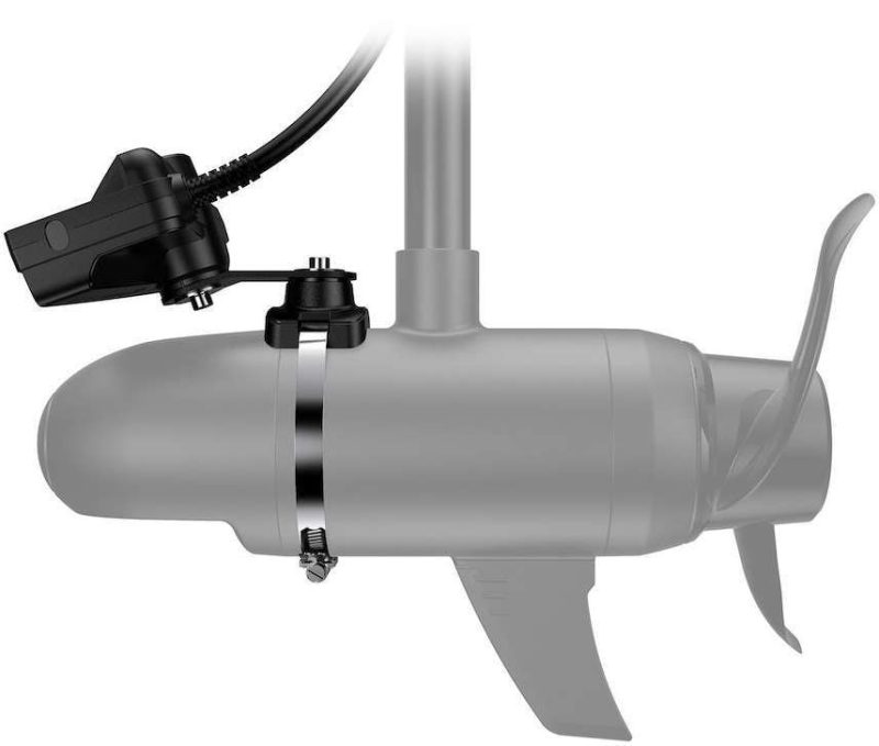
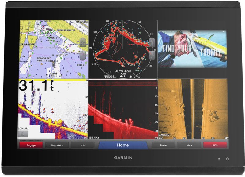
- Integration with Garmin sonar, allowing for a clear view of what lies below the boat
- Up-to-date tidal stations and current predictions to ensure safe and efficient travel
- Dynamic tides and currents overlays indicating the direction and speed of water movement
- High-resolution depth range shading for quick and easy depth identification
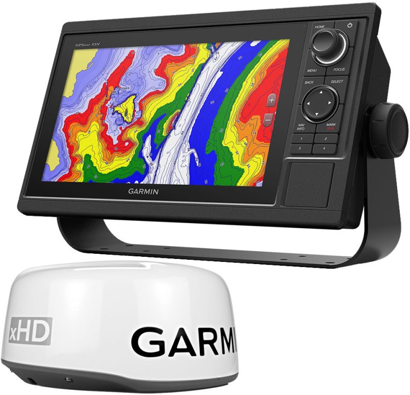
- Compatibility with a wide range of Garmin devices, making it a versatile choice for many boaters
With its extensive range of capabilities, the Garmin VUS008R BlueChart g3 Vision HD not only serves as a navigational aid but also as an essential tool for anglers, sailors, and those enjoying recreational activities along this beautiful stretch of the United States coastline.






Tomeka –
Jamey –
Buck –
Nevin –
Rey –